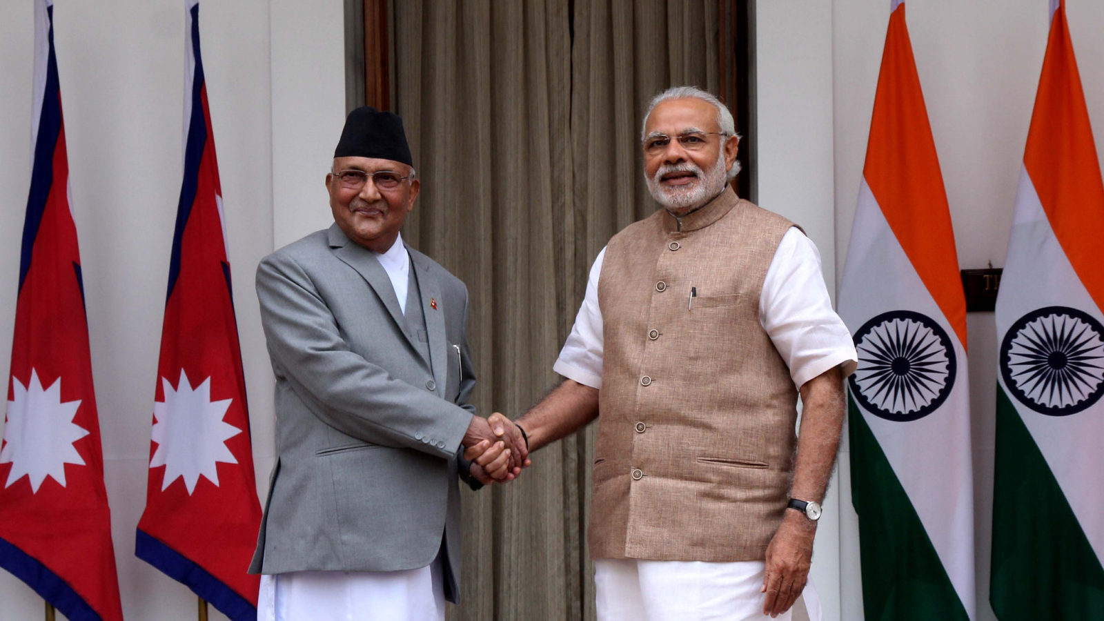
All right, so in this post, I'm going to talk about two nations between whom a serious border dispute was the most unanticipated thing ever. India and Nepal have enjoyed blissful relations since the 1950s. Under the 1950 Indo-Nepal treaty of peace and friendship, Nepal became the only country in the world to allow Indian citizens the freedom of movement within its territory. Nepalese citizens can also travel into India visa-free. So to say, India and Nepal have shared an 'open border' since 1950. The question then arises what is this discourse all about?


The Problem:
Recently, Nepal produced a new political map which included the areas of Lipulekh, Kalapani, and Limpiyadhura under its territory. Now, the problem is that these areas have effectively been under Indian control since 1947 and since the 1962 Indo- China war, India even maintains a strong military presence there. To get a better understanding of all of this look at the map below.

The area marked in green displays the disputed territory. This area, commonly known as the Kalapani region, is named after the river Kali(also known as the Sarda River), which originates from the majestic Himalayan mountain-tops in this region. The only reason I'm telling you about this river is that surprisingly, this dispute revolves around the sparkling Kali. Now, Nepal has based its claims on this territory on the Treaty of Sugauli, which was signed in 1816. Let's briefly look at the history behind this to comprehend Nepal's claims over Kalapani.
The History:
In the years 1814-1816, the Kingdom of Nepal and the East India Company fought a war with each other known as the Gurkha War. The war ended with a decisive British victory and signing of the Treaty of Sugauli, under which the Nepalese lost the region of Kumaon-Garwhal on the west and Sikkim on the east. According to the treaty Nepal had to lose all its territory that lied west of the river Kali. But of course, there is a twist to all of this. Nepalese experts claim that the river originates from the mountains near Limpiyadhura(refer map) and therefore all territory east of Limpiyadhura should belong to Nepal. India, on the other hand, believes that the river originates from Kalpani and that's where the border should stand. India has controlled the disputed region for more than 60 years, in fact the monarchs of Nepal themselves allowed India to place its military in the area in 1962. So, why did Nepal suddenly bring up this issue amid a global pandemic?
The possible role of China:
In recent years, Nepal has become increasingly dependent on China for trade and imports. In 2017, Nepal imported approximately 1.19 billion worth of Chinese goods. It is, therefore, possible that China pressurized Nepal into publishing the new political map and spark a dispute with India, one of Nepal's biggest allies. China might have aimed to increase problems for the Indian administration while the country is under lockdown and battling with Covid-19, a virus that ironically originated in China itself. The Chinese army has continued its acts of violations across the Sino- India border, even during these times of crisis, a crisis that originated in China. Just lately on the 11th of April, a Chinese helicopter entered 12-15kms inside Indian territory and was swiftly driven away by Indian Su-30 fighter jets. Therefore, the prospect of Chinese involvement in this discourse seems quite likely.
Comments
Post a Comment
Any suggestions/thoughts are welcome